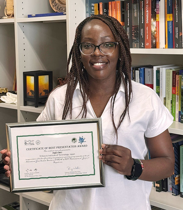
Angela Oderaさんが 4th International Joint Student Seminar on One Health One World にて Best Presentation Award を受賞
- 地域環境システム専攻
受賞者
Angela Odera さん(地域環境システム専攻)
指導教員
ヘンリーマイケル 教授(工学部)
学会・大会名
4th International Joint Student Seminar on One Health One World
賞名
発表題目
To use satellite data as a proxy for road pavement conditions, it is important to validate it against standard ground-based assessments. In this study, Sentinel-2 reflectance values from asphalt roads in Kenya’s Coastal Region were categorized using Fuzzy C-means clustering to reflect the ambiguous nature of road degradation boundaries. Cluster memberships were then used as predictors in an Ordinal Forest classifier of expert-rated visual conditions (Good, Fair, Poor). The model achieved moderate accuracy but weak ordinal alignment with expert labels, suggesting that spectral features alone may not capture subtle deterioration cues, and that incorporating texture or contextual information could enhance predictive performance.
研究目的
This research was motivated by the growing interest in satellite remote sensing as a practical alternative to field-based inspections for monitoring road pavement conditions over extensive networks. It aimed to assess the ordinal consistency of fuzzy clustered spectral features derived from Sentinel-2 imagery with expert-labelled pavement condition ratings, to evaluate whether these features can predict pavement condition in a way that reflects real-world degradation patterns used by experts to inform maintenance planning and resource allocation.
今後の展望
The findings of this research are expected to guide the development of robust, interpretable, and context-aware satellite data-based pavement monitoring systems. Leveraging the wide-area coverage and frequent revisit capabilities of artificial satellites, such systems could enable timely maintenance interventions and help reduce the overall life-cycle costs of road networks.